
Build the tools that read the ground
Join a deep-tech geospatial team in Tiruchirappalli working across GIS, satellite remote sensing and DGCA-certified drone surveying.
What it is like to work here
Every service is self-performed, so everyone here owns real work from flight plan to final map.

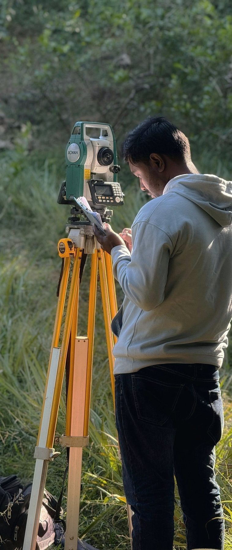
Real fieldwork
You fly the drone and walk the site, not just process data someone else captured.
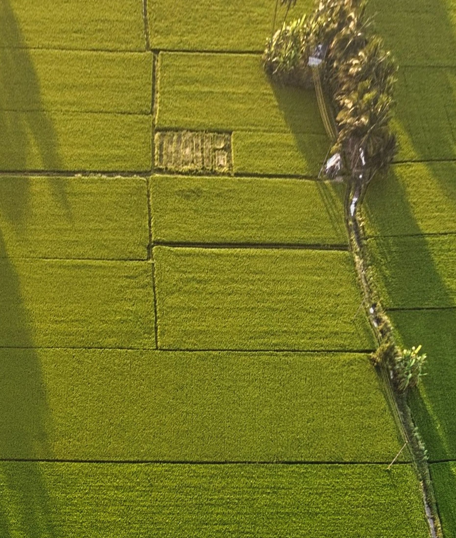
A small, deep-tech team
Early enough that your work is directly visible in what ships, not buried under layers of process.
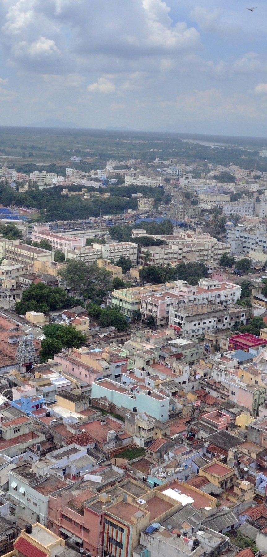
Tiruchirappalli-based
We work from home ground and grow the team here, close to the land and water we map.
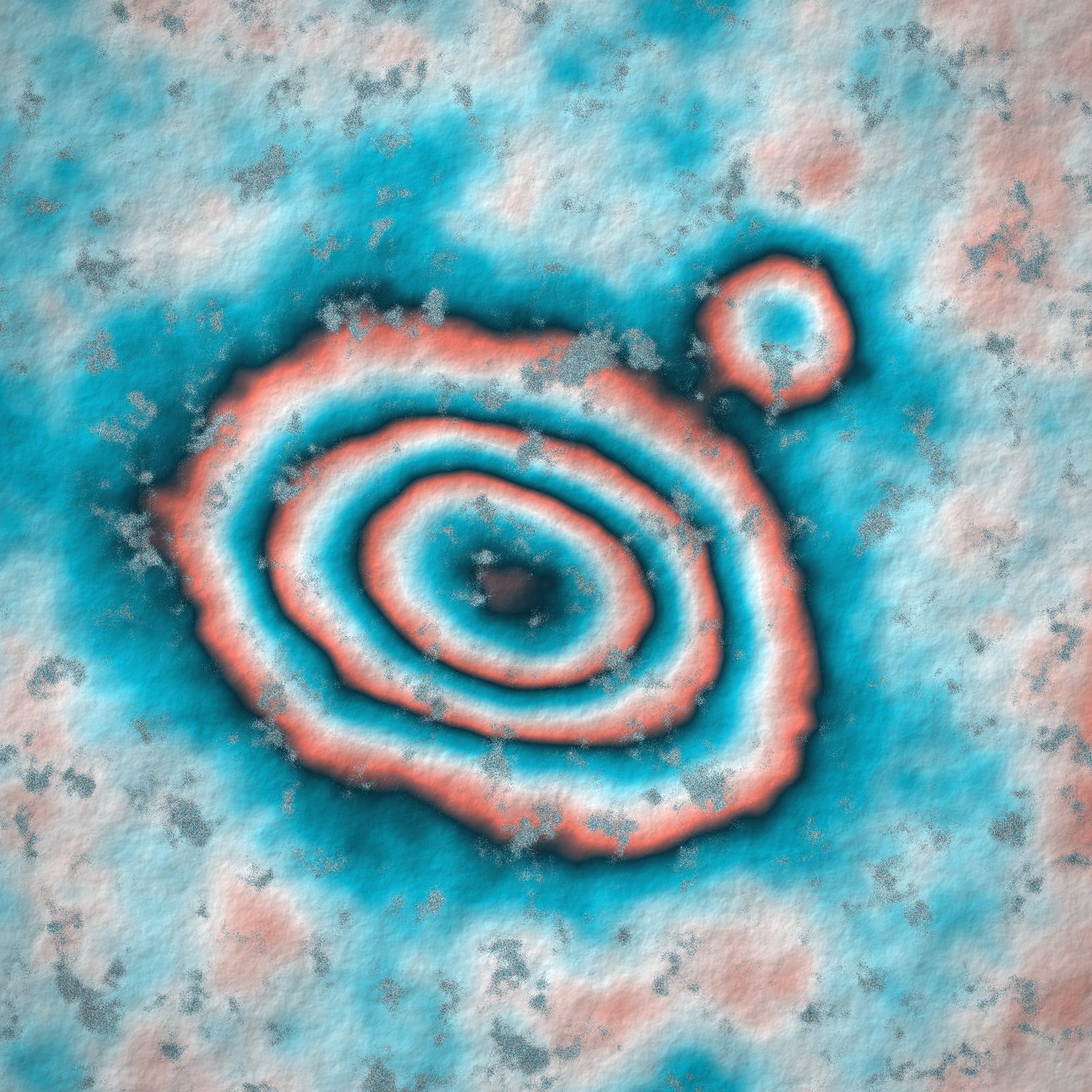
Research in the day job
InSAR, urban climate indices, planetary mapping and NavIC reflectometry sit beside client work.
Open roles
There are no advertised openings right now, but we always read a strong application.
Send your resume and the role you would like to careers@arcgx.in.
Email your applicationHow to apply
Send your resume
Email careers@arcgx.in with your resume and the role you are interested in.
Show us your work
Link a map, survey, analysis or piece of code you are proud of. It tells us more than a list of tools.
We get back to you
We get back to you about next steps.
Partnerships
Active academic partnerships with NIT Tiruchirappalli and Bharathidasan University.
Seminars and workshops
Regular talks and webinars on GIS, remote sensing and geospatial careers.
Training
Hands-on GIS sessions for students, faculty and working professionals.
Students and faculty: our seminars, workshops and GIS training are open to partner institutions. Ask at support@arcgx.in.