
Agriculture
Crop health, soil, and yield monitoring for precision farming.
ArcGX builds GIS, remote sensing, and drone-surveying solutions that turn complex spatial data into clear, confident decisions.
How we work
Every dataset is calibrated and validated against real field measurements before it reaches your team.
Capture, processing, and delivery all happen under one roof, no subcontracted steps in between.
Outputs land in the formats and tools your team already uses, not ones we prefer.
Industries
Crop health, soil, and yield monitoring for precision farming.

Smart-city, zoning, and infrastructure intelligence.

Ecosystem health, deforestation, and climate monitoring.

Mineral exploration, terrain stability, resource mapping.
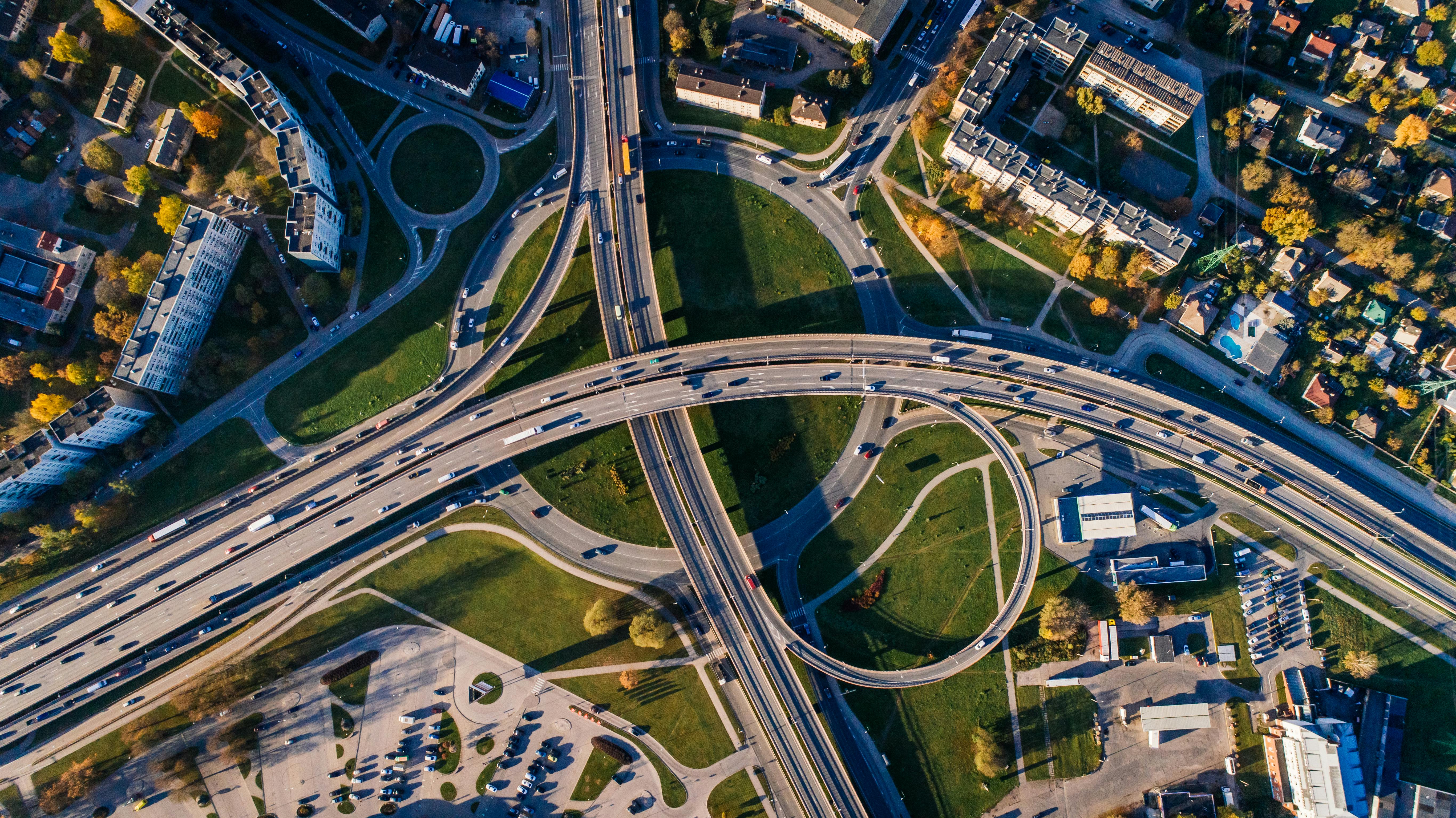
Corridor mapping, asset surveys, site intelligence.

Coastal, flood, and hazard mapping for preparedness.
How we work
We define the problem, scope, and success metrics together, aligning data to your decisions.
Satellite, drone, and field data captured at the right resolution for your area of interest.
Specialists process, classify, and model the data into validated, decision-ready layers.
Clear maps, dashboards, and reports, delivered in the formats your team already uses.
0
Service domains
0+
Geo tools mastered
0
University partners
0
Incorporated
Our toolkit
Built on industry-standard geospatial software and proven open technologies.
Trusted by leading research institutions
Academic and research collaboration with institutions in Tiruchirappalli.
FAQ
ArcGX provides end-to-end geospatial intelligence: GIS mapping and spatial analysis, satellite remote sensing and data analysis, drone (UAV) surveying and LiDAR, geological services, environmental monitoring, urban planning support, agricultural intelligence, and custom geospatial application development.
Start a project
Share your objective, the area of interest, any existing data, and your timeline. The first consultation and scoping discussion are free.
support@arcgx.in